
Buffalo ZIP Code Coverage
The Buffalo ZIP code directory combines Buffalo city contexts, nearby postal labels, and special postal-use codes documented in the local research. The area labels are practical context, not legal boundaries. USPS controls delivery information, while Erie GIS and the relevant municipal parcel authority determine the parcel side of an address. Use the table as a starting inventory and confirm an individual address through USPS and GIS before treating a code as a location boundary.
| ZIP | Areas Covered | Post Office | Notes |
|---|---|---|---|
| 14201 | Downtown and central west urban core | Buffalo postal area | Verify the exact address. |
| 14202 | Downtown, waterfront, and civic core | Central Buffalo postal area | Postal context only. |
| 14203 | Medical campus and east downtown | Buffalo postal area | Verify the exact address. |
| 14204 | First Ward and Broadway-Fillmore edge | Buffalo postal area | Postal context only. |
| 14205 | Central urban and PO-box-oriented map area | USPS verification required | Confirm delivery type. |
| 14206 | Kaisertown and southeast Buffalo | Buffalo postal area | Buffalo city context. |
| 14207 | Riverside and Black Rock | Buffalo postal area | Buffalo city context. |
| 14208 | Masten Park and MLK area | Buffalo postal area | Buffalo city context. |
| 14209 | Delaware and north-central area | Buffalo postal area | Buffalo city context. |
| 14210 | South Buffalo and Seneca-Babcock | Buffalo postal area | Buffalo city context. |
| 14211 | Broadway-Fillmore and Lovejoy | Buffalo postal area | Buffalo city context. |
| 14212 | East Buffalo and Genesee-Moselle | Buffalo postal area | Buffalo city context. |
| 14213 | West Side and Lower West Side | Buffalo postal area | Buffalo city context. |
| 14214 | University Heights and Kensington-Bailey | Buffalo postal area | Buffalo city context. |
| 14215 | East Side and Delavan-Grider | Buffalo postal area | Buffalo city context. |
| 14216 | North Buffalo and Parkside | Buffalo postal area | Buffalo city context. |
| 14217 | Kenmore and adjacent municipality | Buffalo postal label | Outside Buffalo city limits. |
| 14218 | Lackawanna and adjacent municipality | Buffalo postal label | Not Buffalo city limits. |
| 14219 | Southtowns and adjacent municipality | Buffalo postal label | Not Buffalo city limits. |
| 14220 | South Buffalo | Buffalo postal area | Buffalo city context. |
| 14221 | Amherst and Clarence-area postal label | Buffalo postal label | Label does not mean city parcel. |
| 14222 | Elmwood Village, Allentown, and campus | Buffalo postal area | Buffalo city context. |
| 14223 | Kenmore | Buffalo postal label | Adjacent municipality. |
| 14224 | West Seneca | Buffalo postal label | Adjacent municipality. |
| 14225 | Cheektowaga | Buffalo postal label | Adjacent municipality. |
| 14226 | Amherst | Buffalo postal label | Adjacent municipality. |
| 14227 | Cheektowaga | Buffalo postal label | Adjacent municipality. |
| 14228 | Amherst | Buffalo postal label | Adjacent municipality. |
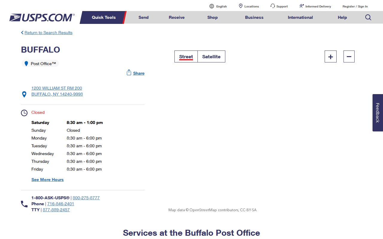
| 14240 | Buffalo USPS postal and PO-box use | Buffalo Post Office | 1200 William Street RM 200; 716-846-2401. |
| 14260 | University or special postal area | USPS verification required | Verify institution and delivery use. |
| 14263 | Buffalo special postal area | USPS verification required | Verify institution and delivery use. |
| 14233 | Buffalo special postal area | USPS verification required | Verify delivery use. |
The practical Buffalo range is 14201 through 14228, but the postal footprint extends across city and county lines. Special codes need an address-level check. Exact ZIP boundaries require USPS and GIS verification, and no row should be read as a promise about a delivery route or a municipal boundary.
Buffalo ZIP Context
Buffalo planning material identifies 35 neighborhoods, including Riverside, Black Rock, North Park, Parkside, University Heights, Allentown, Fruit Belt, West Side, First Ward, Broadway-Fillmore, Lovejoy, Kaisertown, Seneca-Babcock, and South Park. Those names help describe local context, but they do not replace a ZIP, a parcel, or a city boundary. A neighborhood can cross the practical edge of a postal label, and a code can cover more than one neighborhood.
Use municipality, parcel, and ZIP together. Erie parcel data can show a PIN or SBL, address number and name, owner and mailing fields, city, ZIP and ZIP+4, school information, deed date, and roll. That is the local connection between a street address and its legal parcel. A postal label alone cannot make that connection.
Buffalo ZIP Delivery
USPS is the source for current delivery ZIP and post-office information. The Buffalo Post Office detail lists the Buffalo Post Office at 1200 William Street, Room 200, Buffalo, NY 14240-9998, with 716-846-2401 and 1-800-ASK-USPS. For historic post-office questions, the official USPS ZIP-to-ZIP tool uses From ZIP and To ZIP fields and warns that historical post-office information may not be current.
The USPS Buffalo Post Office record is the official postal contact shown below.
Confirm the full address with USPS before using a ZIP as a filter, especially when a mailing label might point toward a nearby municipality.
Buffalo ZIP Parcel Search
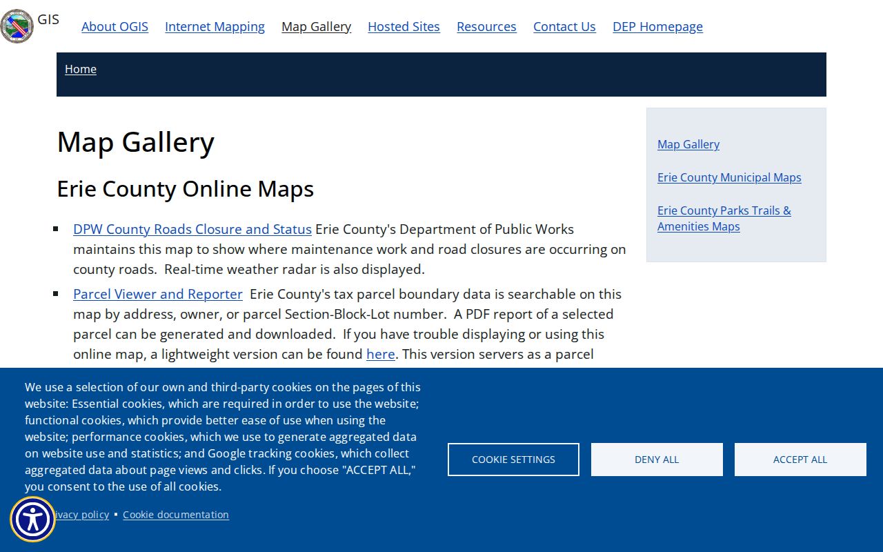
Erie GIS is the useful second check after a USPS confirmation. Its Parcel Viewer and Reporter accept address, owner, or SBL searches, expose ZIP and ZIP+4 in parcel results, and provide a ZIPCODES layer. That layer is Census Bureau geography, not a municipal boundary. The parcel popup can return PIN, SBL, address, owner and mailing fields, frontage, depth, acreage, class, property description, school area, deed date, and roll. GIS lines are illustrative rather than a legal survey.
The Erie GIS map gallery identifies the address, owner, SBL, parcel-report, and layer routes that support a ZIP code directory search.
Read both the property location and mailing fields, then check the municipality before using a city assessment or tax route.
Buffalo ZIP Permit Records
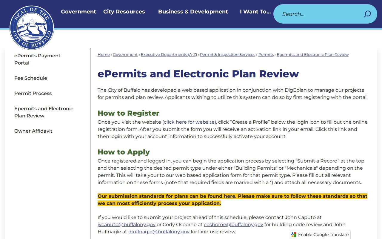
Buffalo DigEplan's Lookup Permit function accepts an address, date range, and ZIP, then follows the Building Permits or Mechanicals path. It is an address and permit tool, not a ZIP-wide list of people. The city says that street names beginning with a number should spell the number out. For address or assessment confusion, the research directs users to Assessments at 716-851-5771.
| Field | Type | Use in the permit lookup |
|---|---|---|
| Address | Text/address search | Enter the Buffalo property address using the correct format. |
| Date range | Date pair | Narrow the permit period. |
| ZIP | Text | Use the property ZIP after USPS and GIS checks. |
| Permit type | Selection path | Choose Building Permits or Mechanicals where applicable. |
The Buffalo permit lookup instructions show the address, date, ZIP, and permit-type path.
Permit evidence can place activity at an address and date, but it does not establish a complete list of occupants or a current postal delivery status.
Search a Buffalo ZIP Code
A ZIP can narrow a record search only after the underlying address is correct. USPS can confirm delivery geography. Erie GIS can connect the address to a parcel, and Buffalo permit records can accept ZIP beside the address and date range. Voter FOIL requests use election geography, not a ZIP-wide public lookup, so a code should not be substituted for the required town, ward, or district information.
- Confirm the complete address and delivery ZIP with USPS.
- Search the Erie GIS Parcel Viewer by address, owner, or SBL and inspect the returned ZIP or ZIP+4 field.
- Check the property municipality, then use the correct city or town assessment and tax custodian.
- For permit context, use the Buffalo address, date range, ZIP, and appropriate permit type.
- When the ZIP has narrowed a street, use the Buffalo street directory for the address-by-address record trail.
Buffalo ZIP Code Boundary Check
A postal Buffalo label is not proof that a parcel lies within Buffalo city limits. The documented local split is especially clear in 14217 Kenmore, 14218 Lackawanna, 14221 Amherst or Clarence, 14223 Kenmore, 14224 West Seneca, 14225 and 14227 Cheektowaga, and 14226 and 14228 Amherst. Parcel and tax jurisdiction controls the record custodian. USPS controls the delivery label.
City-limit check. Before requesting a parcel or tax record, confirm the municipality in GIS because a Buffalo postal ZIP can belong to another Erie County municipality.
Note: A ZIP query may return a parcel, permit, or record with that mailing or situs ZIP, not every person connected to the area.
Buffalo ZIP Types
Postal terms matter because the same five-digit code can serve different delivery uses. The special Buffalo-area entries, including 14240, 14260, 14263, and 14233, should be checked with USPS rather than treated as ordinary neighborhood labels. The definitions below explain why a code may narrow an address without deciding a city or parcel boundary.
- ZIP
- A five-digit delivery geography used by USPS. It is not a city-limit or parcel-boundary system.
- ZIP+4
- An added four-digit delivery detail that improves mail sorting. Erie parcel results can expose ZIP and ZIP+4 fields.
- PO-box ZIP
- A code used for post-office box service. Confirm whether an address has delivery service before drawing a neighborhood conclusion.
- Unique ZIP
- A code assigned for a single organization or destination. Confirm a particular Buffalo code through USPS before relying on that status.
- Carrier route
- A mail-delivery grouping used for routing. It does not establish municipal jurisdiction or an ownership record.
Buffalo ZIP Code History
No dated Buffalo ZIP split or realignment notice was located in the official research. That absence is not evidence that no postal change ever occurred. It means a historical claim about a particular address should be checked through the USPS historical post-office tool and the record custodian, rather than assigning an unsupported date or boundary change.
For a current question, delivery information should come from the current USPS address result. For a parcel question, use the current GIS and municipal assessment record. Each source answers a different part of the postal search.
Buffalo ZIP Code Past Addresses
Older Buffalo addresses may predate ZIP codes. For historical address research, use city directories, maps, deeds, Sanborn material, tax books, and the legal description rather than forcing a modern postal code onto an older record. A street can have old and new names, directional or suffix variants, and parcel changes that need to be bridged by the lot description or adjoining parcels.
The Buffalo and Erie County Public Library's directory, map, and historical holdings can provide the yearly address context that a modern ZIP cannot. A deed remains keyed to parties, legal descriptions, and recording information, while GIS is keyed to a current parcel or address. Keep those systems distinct when tracking an old location.